About Alpha Geosystems

At Alpha Geosystems, we bring precision, innovation, and reliability to the world of geospatial solutions. Founded with a vision to transform the way spatial data is captured, analyzed, and applied, we specialize in delivering high-quality surveying, mapping, and GIS services tailored to meet the unique needs of our clients across industries.

With a team of experienced professionals, advanced technology, and a commitment to accuracy, we support infrastructure development, urban planning, environmental management, and more. Our services are designed to empower engineers, architects, planners, and government bodies with the data they need to make informed decisions.

About-Alpha-Geosystem

PRODUCTS

Untitled design (7)

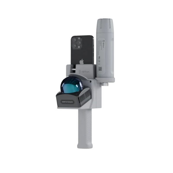
V4e LiDAR

V4e LiDAR is a
straightforward entry into
professional reality capture.

More Details
Untitled design (4)

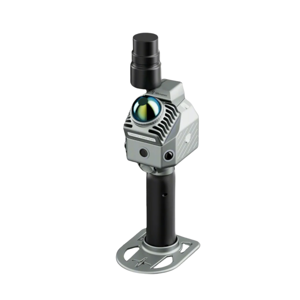
P2 LiDAR Scanner

P2 LiDAR Scanner delivers
centimeter-level precision,
real time.

More Details
Untitled design (8)

S2 3D LiDAR Scanner

Capture indoor and outdoor
environments
as you walk.

More Details
1024X1024 (11)

Pozstar Q1

Maintains positioning
even in the absence
of GNSS Signals.

More Details
Untitled design (9)

PozStar Q2-100

High Precision Positioning +
IMU (under 30 km/h),
Precision Agriculture

More Details
Untitled design (10)

PozStar Q2-200

GNSS Full Frequency
(RTK,NTRIP,PPP)+Dual
Antenna (for heading support)

More Details
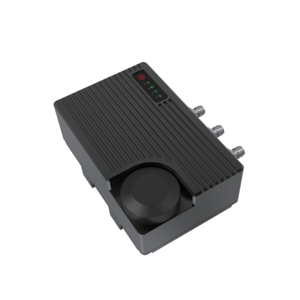
1024X1024 (10)

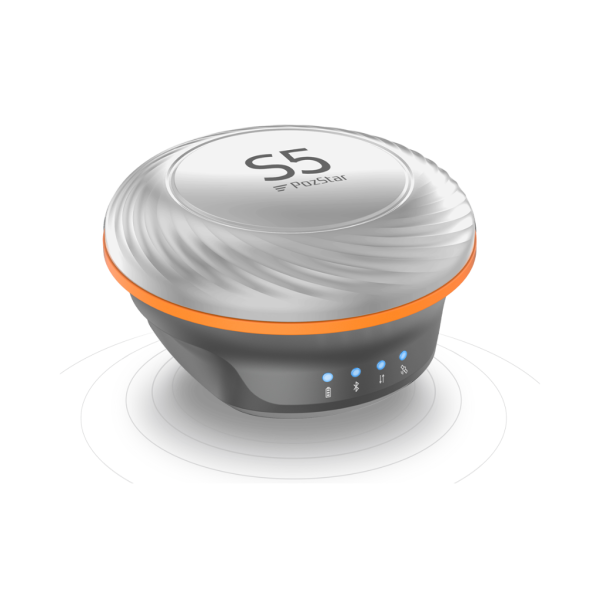
PozStar S5

Receiving all GNSS satellites
and all
kinds of satellites.

More Details
1024X1024 (9)

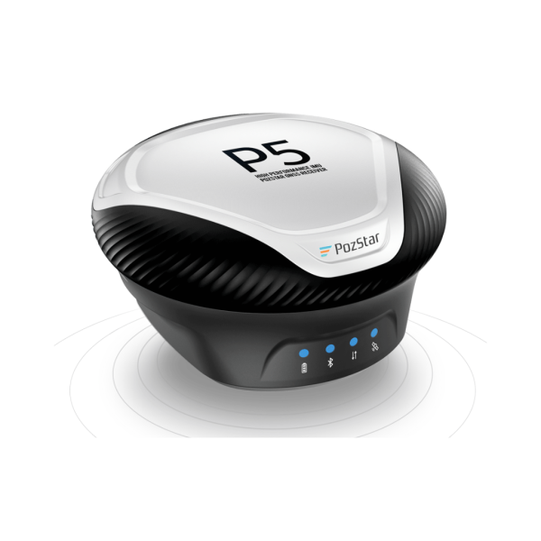
PozStar P5

The high-precision board
design based on
GNSS system on Chip.

More Details
1024X1024 (8)

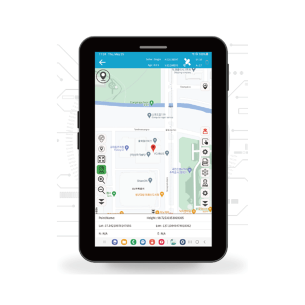
PozPad(Android APP)

PozPad survey software
offers intuitive design,
user-friendly.

More Details
1024X1024 (4)

Alpha 4i

The design limitation, and
it unloads 50%
global surveyors successfully.

More Details
1024X1024 (4)

Alpha 40

Alpha 40 is a lightweight
optic electric RTK, an
intelligent platform designed
More Details
1024X1024 (18)

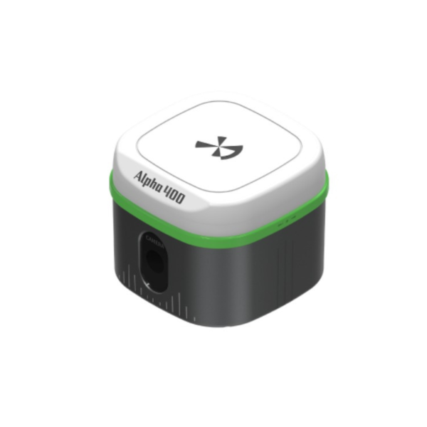
Alpha 400

Alpha 400 is a lightweight
visual positioning RTK with
intelligent platform

More Details
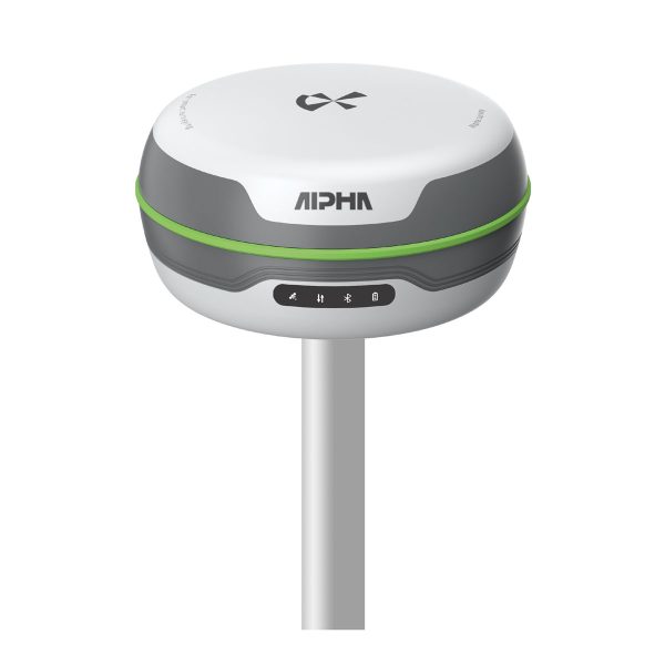
Alpha 5w

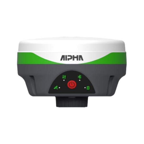
Alpha 5i

Alpha 5i RTK with all-band
and all satellite system
supporting works

More Details
Alpha 5w

Alpha 5w

Alpha 5w full-galaxy RTK,
built-in fully compatible 5W
long-range radio

More Details
1024X1024 (19)

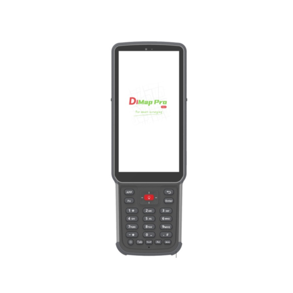
Alpha B55 controller

Professional PDA Collector
thin and smart | 8 core
strong computing power
More Details
1024X1024 (17)

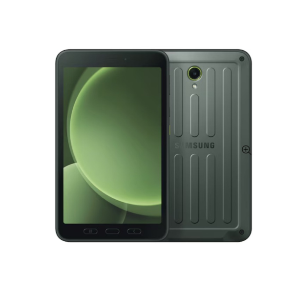
SAMSUNG Tab Active5

This Tab helps your crew
do more with less while
stayingproductive on-site
More Details
1024X1024 (3)

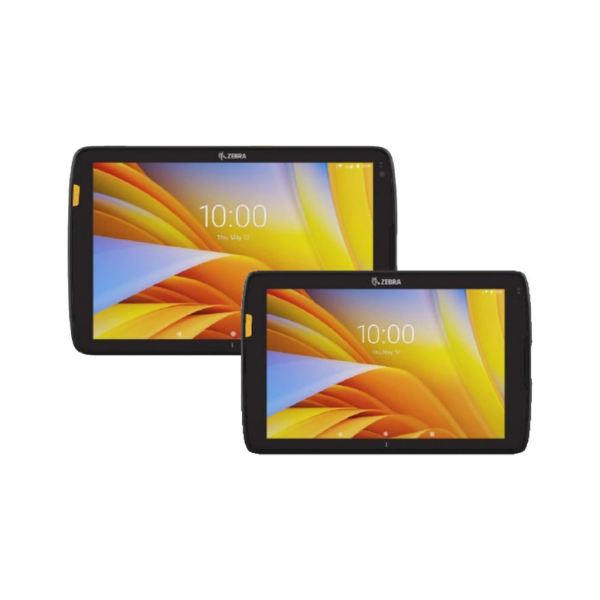
ET40 / ET45

The Zebra ET40/ET45 are
rugged, enterprise-grade
tablets designed for business
More Details
1024X1024 (6)

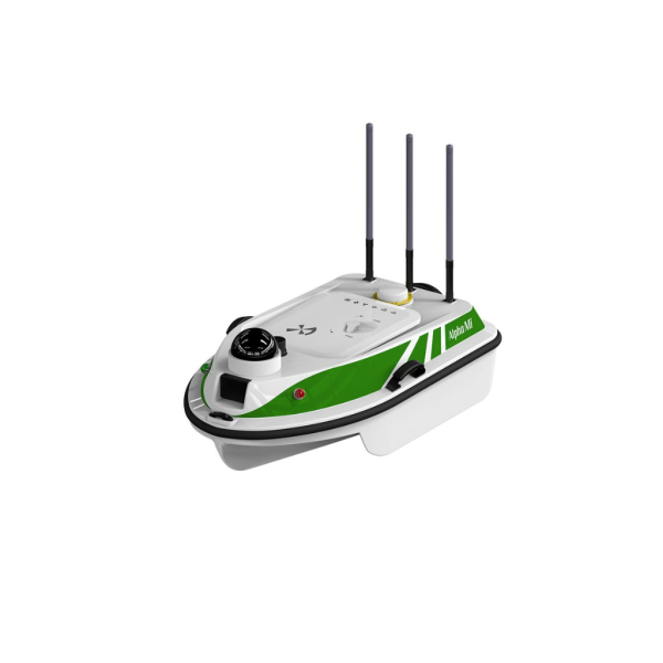
Alpha Mi

Alpha Mi is exclusively
designed for one-person
measuring work.

More Details
1024X1024 (2)

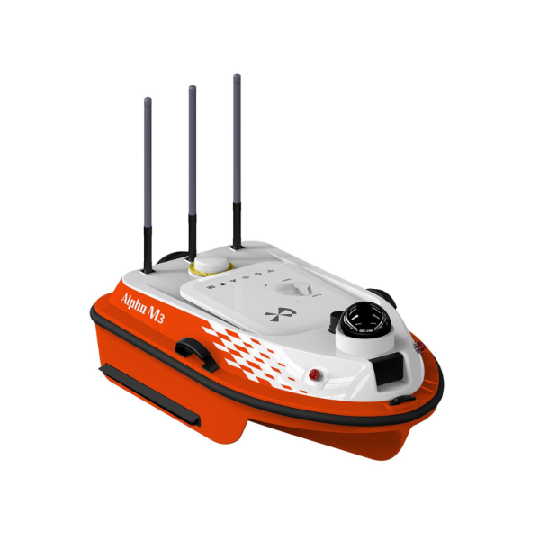
M3

The Alpha M3 emergency
detection USV is a highly
integrated surface robot.

More Details
1024X1024 (7)

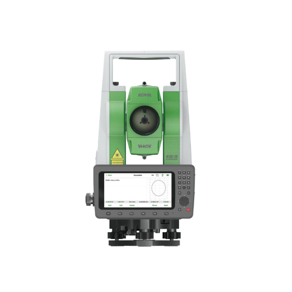
Alpha Ti

Originated from European
optical technology, Alpha Ti
comes out with a brand

More Details
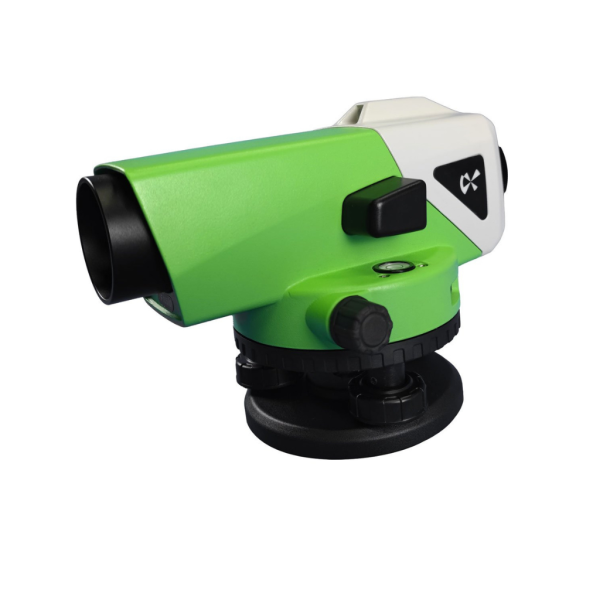
1024X1024

Alpha Li

Alpha Li automatic industrial
level is designed by
senior engineers.

More Details
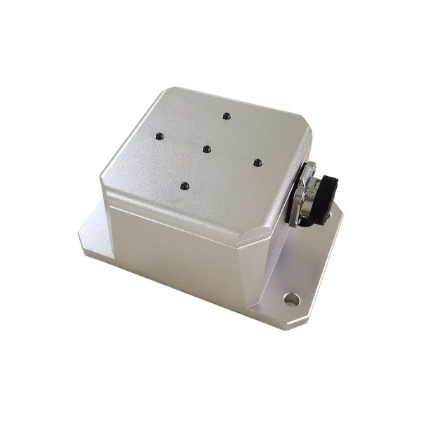
1024X1024 (1)

Alpha Fi

Alpha Fi is a high-precision
double-circle tilt angle
measuring instrument

More Details
1024X1024 (5)

Alpha Wi

Alpha Wi portable echo
sounder can survey areas
with depth range up to 200m.

More Details

Accessories

Precision accessories
designed to enhance
surveying accuracy.

More Details

Reliable Service and Monitoring Instruments You Can Trust

Discover our wide range of Service and monitoring instruments—designed for accuracy, built for tough conditions, and trusted by professionals worldwide.

Why Choose US

Precision You Can Trust

Precision You Can Trust

We understand that in geospatial services, accuracy is everything. Our commitment to precision ensures that every dataset we deliver is reliable, detailed, and ready for critical decision-making.

Cutting-Edge Technology​

Cutting-Edge Technology

We leverage the latest in surveying instruments, GIS software, and mapping tools to provide faster, smarter, and more efficient solutions — reducing errors and increasing productivity.

Industry Expertise

Industry Expertise

With a skilled team of geospatial professionals and years of hands-on experience across sectors like infrastructure, urban planning, and environmental management, we bring deep domain knowledge to every project.

Customized Solutions​

Customized Solutions

Every project is unique, and so is our approach. We tailor our services to fit your specific requirements — whether you’re an engineer, architect, planner, or a government organization.

nd-to-End Support

End-to-End Support

From initial data capture to final analysis and reporting, we offer comprehensive support at every stage. We’re not just a service provider — we’re your long-term geospatial partner.

Training Videos

Rahul Morya

Precision geospatial experts—fast, reliable, and innovative.
Highly recommended for surveying and GIS solutions

Sam

Sharma

Transformed our project with accurate mapping and
outstanding support. Alpha Geosystems delivers excellence!

Durgesh

kumar

Top-tier geospatial services—saved us time and costs.
A trusted partner for any industry

1. Why should I choose Alpha Geosystems?

Alpha Geosystems combines advanced surveying technology, trusted global technology partnerships, experienced engineers, comprehensive after-sales support, and application-focused solutions to help customers improve productivity and accuracy.

2. Is Alpha Geosystems a manufacturer or an authorized supplier?

Alpha Geosystems is a technology solutions provider and authorized distributor of globally recognized surveying and geospatial brands, offering complete sales, support, training, and service solutions.

3. Which industries use your products?

Our solutions are widely used in:

  • Land Surveying
  • Construction
  • Mining
  • Railways
  • Highways
  • Irrigation
  • Marine Surveying
  • Utility Mapping
  • BIM
  • Digital Twin
  • Smart Cities
  • Oil & Gas
  • Infrastructure Projects


4. How do I choose the right surveying equipment?

Our technical experts recommend equipment based on:

  • Project type
  • Required accuracy
  • Working environment
  • Survey method
  • Budget
  • Deliverables
5. Which GNSS receiver is best for land surveying?

It depends on your application. Our team will recommend the appropriate GNSS receiver based on RTK accuracy, workflow, terrain, and project requirements.

6. Which Total Station should I buy?

The ideal Total Station depends on measurement range, angular accuracy, reflectorless distance, onboard software, and project type. Our specialists can help you choose the most suitable model.

7. Which LiDAR scanner is suitable for my project?

This depends on whether your work involves indoor mapping, outdoor surveying, BIM, mining, digital twins, or construction documentation. We help customers select the right scanner based on their workflow.

8. Can I compare different products before purchasing?

Yes. We provide detailed technical comparisons and recommend the best solution for your application.

9. Can I request a live product demonstration?

Yes. We offer online and on-site product demonstrations.

10. Can you demonstrate equipment at our project site?

Yes. Site demonstrations can be arranged depending on location and project requirements.