Applications
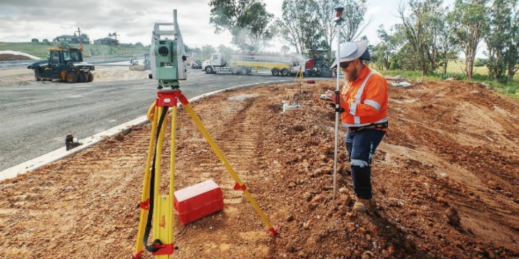
Construction & Infrastructure
Building the Future with Precision Surveying
Construction and infrastructure projects require accurate measurements throughout planning, design, construction, and maintenance. Alpha Geosystems provides industry-leading surveying and positioning solutions that help engineers, contractors, and government agencies deliver projects faster, safer, and with greater accuracy.
From highways and bridges to airports, metro rail systems, industrial plants, and smart cities, our advanced GNSS RTK receivers, Total Stations, LiDAR scanners, UAV mapping systems, and digital surveying software enable precise site layout, earthwork calculations, machine guidance, and quality control.
Our Solutions
- GNSS RTK Survey Systems
- Total Stations
- Digital Levels
- UAV Mapping
- LiDAR Scanners
- Construction Layout Software
- GIS Solutions
Applications
- Roads & Highways
- Bridges & Flyovers
- Commercial Buildings
- Residential Projects
- Airports
- Smart Cities
- Metro Rail
- Industrial Plants
Benefits
- Faster Project Execution
- Millimeter-Level Accuracy
- Reduced Rework
- Improved Construction Quality
- Digital Documentation
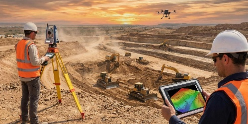
Mining & Quarrying
Intelligent Survey Solutions for Mining Operations
Mining operations depend on accurate geospatial data to improve productivity, reduce operational costs, and enhance worker safety. Alpha Geosystems offers comprehensive surveying solutions for exploration, excavation, stockpile management, environmental monitoring, and mine planning.
Our GNSS receivers, Total Stations, UAV mapping systems, LiDAR technology, and advanced surveying software help mining professionals generate highly accurate terrain models, monitor slope stability, calculate stockpile volumes, and manage mine assets efficiently.
Applications
- Open Pit Mining
- Underground Mining
- Quarry Management
- Stockpile Volume Measurement
- Blast Planning
- Haul Road Design
- Environmental Monitoring
- Mine Rehabilitation
Recommended Equipment
- Alpha GNSS RTK
- Alpha Total Station
- UAV Survey Systems
- LiDAR Scanner
- GIS Software
Benefits
- Increased Productivity
- Accurate Volume Calculations
- Improved Mine Planning
- Enhanced Worker Safety
- Better Resource Management
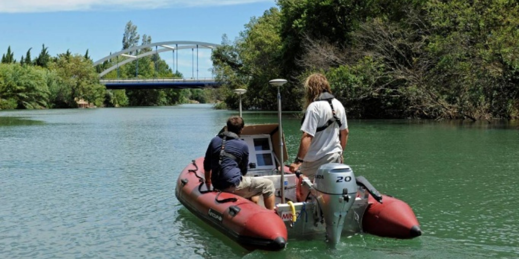
Marine & Hydrographic
Advanced Hydrographic & Bathymetric Survey Solutions
Water resource management requires precise underwater mapping and accurate depth measurements. Alpha Geosystems provides integrated hydrographic surveying systems for reservoirs, rivers, ports, lakes, dams, canals, coastal zones, and offshore infrastructure.
Our hydrographic solutions combine GNSS positioning, Echo Sounders, Bathymetric Survey Boats, motion sensors, and processing software to deliver reliable bathymetric data for engineering and environmental projects.
Applications
- Reservoir Surveys
- River Mapping
- Port Development
- Harbor Engineering
- Dredging Projects
- Dam Inspection
- Coastal Survey
- Underwater Pipeline Mapping
Solutions
- Bathymetric Survey Boat
- Echo Sounder
- GNSS RTK
- Hydrographic Software
Benefits
- Accurate Water Depth Measurement
- Efficient Survey Workflow
- Reliable Navigation Data
- Improved Water Resource Planning
Railways & Highways
Precision Surveying for Transportation Infrastructure
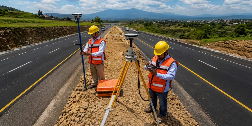
Transportation infrastructure demands accurate alignment, monitoring, and mapping throughout its lifecycle. Alpha Geosystems provides advanced geospatial technologies that support railway modernization, highway expansion, bridge construction, and corridor mapping.
Applications
- Railway Alignment
- Highway Design
- Corridor Mapping
- Tunnel Survey
- Bridge Monitoring
- Pavement Survey
- Track Maintenance
- Asset Management
Equipment
- GNSS RTK
- Total Station
- LiDAR
- UAV Mapping
- GIS Software
Benefits
- Accurate Corridor Mapping
- Faster Field Data Collection
- Reduced Survey Time
- Better Infrastructure Management
Utility & Pipeline Mapping
Smart Underground Utility Mapping Solutions
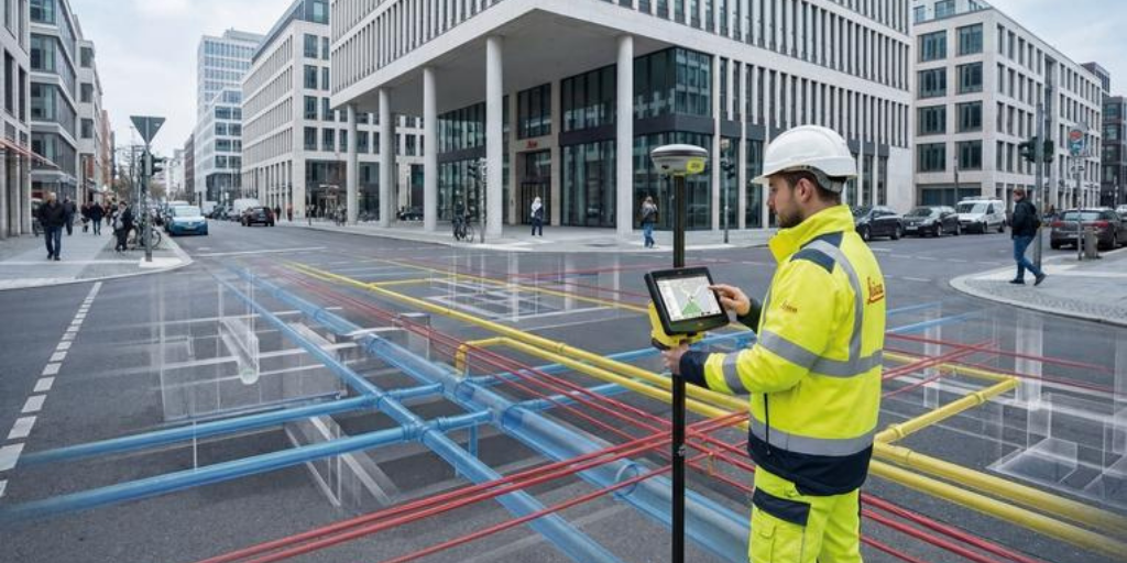
Locating underground infrastructure is critical before excavation, construction, and maintenance. Alpha Geosystems offers integrated utility mapping solutions using Ground Penetrating Radar (GPR), GNSS, Total Stations, and GIS platforms to accurately detect and map buried assets.
Applications
- Water Pipelines
- Gas Pipelines
- Sewer Networks
- Electrical Cables
- Telecom Networks
- Oil Pipelines
- Utility Corridors
- Smart City Infrastructure
Equipment
- Ground Penetrating Radar (GPR)
- GNSS RTK
- Total Station
- GIS Mapping Software
Benefits
- Reduced Excavation Risk
- Accurate Underground Mapping
- Improved Asset Management
- Lower Project Costs
Architecture & BIM
Reality Capture & Building Information Modeling (BIM)
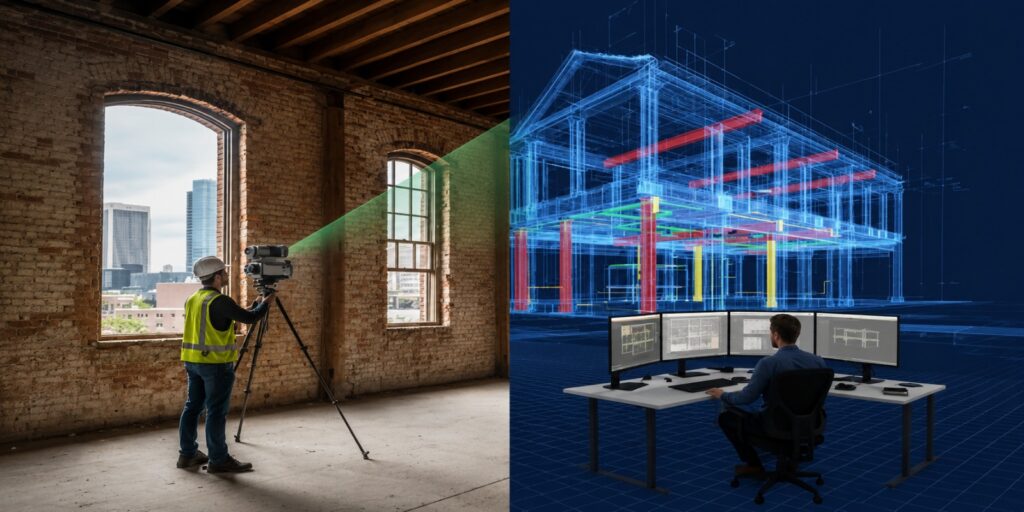
Digital construction begins with accurate reality capture. Alpha Geosystems provides advanced 3D laser scanning and LiDAR solutions for architects, engineers, and facility managers to create accurate digital twins, BIM models, and as-built documentation.
Applications
- Building Documentation
- Digital Twin
- Heritage Preservation
- Interior Mapping
- Industrial Plants
- Facility Management
- Renovation Projects
- BIM Modeling
Solutions
- Handheld LiDAR Scanner
- Terrestrial Laser Scanner
- BIM Software
- Point Cloud Processing
Benefits
- High-Speed 3D Capture
- Accurate As-Built Models
- Faster Design Workflow
- Improved Collaboration
Water Resources & Irrigation
Sustainable Surveying for Water Resource Management
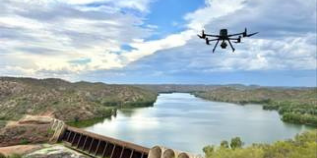
Effective management of water resources requires accurate geospatial information. Alpha Geosystems supports irrigation departments, water authorities, and engineering consultants with advanced surveying solutions for canals, reservoirs, dams, watersheds, and flood management.
Applications
- Irrigation Canal Survey
- Reservoir Mapping
- Dam Monitoring
- River Engineering
- Floodplain Mapping
- Watershed Survey
- Water Distribution Networks
- Environmental Studies
Equipment
- GNSS RTK
- Hydrographic Survey Boat
- Echo Sounder
- UAV Mapping
- GIS Software
Benefits
- Better Water Management
- Accurate Canal Alignment
- Improved Reservoir Monitoring
- Efficient Irrigation Planning