At Alpha Geosystems, we bring precision, innovation, and reliability to the world of geospatial solutions. Founded with a vision to transform the way spatial data is captured, analyzed, and applied, we specialize in delivering high-quality surveying, mapping, and GIS services tailored to meet the unique needs of our clients across industries.
With a team of experienced professionals, advanced technology, and a commitment to accuracy, we support infrastructure development, urban planning, environmental management, and more. Our services are designed to empower engineers, architects, planners, and government bodies with the data they need to make informed decisions.
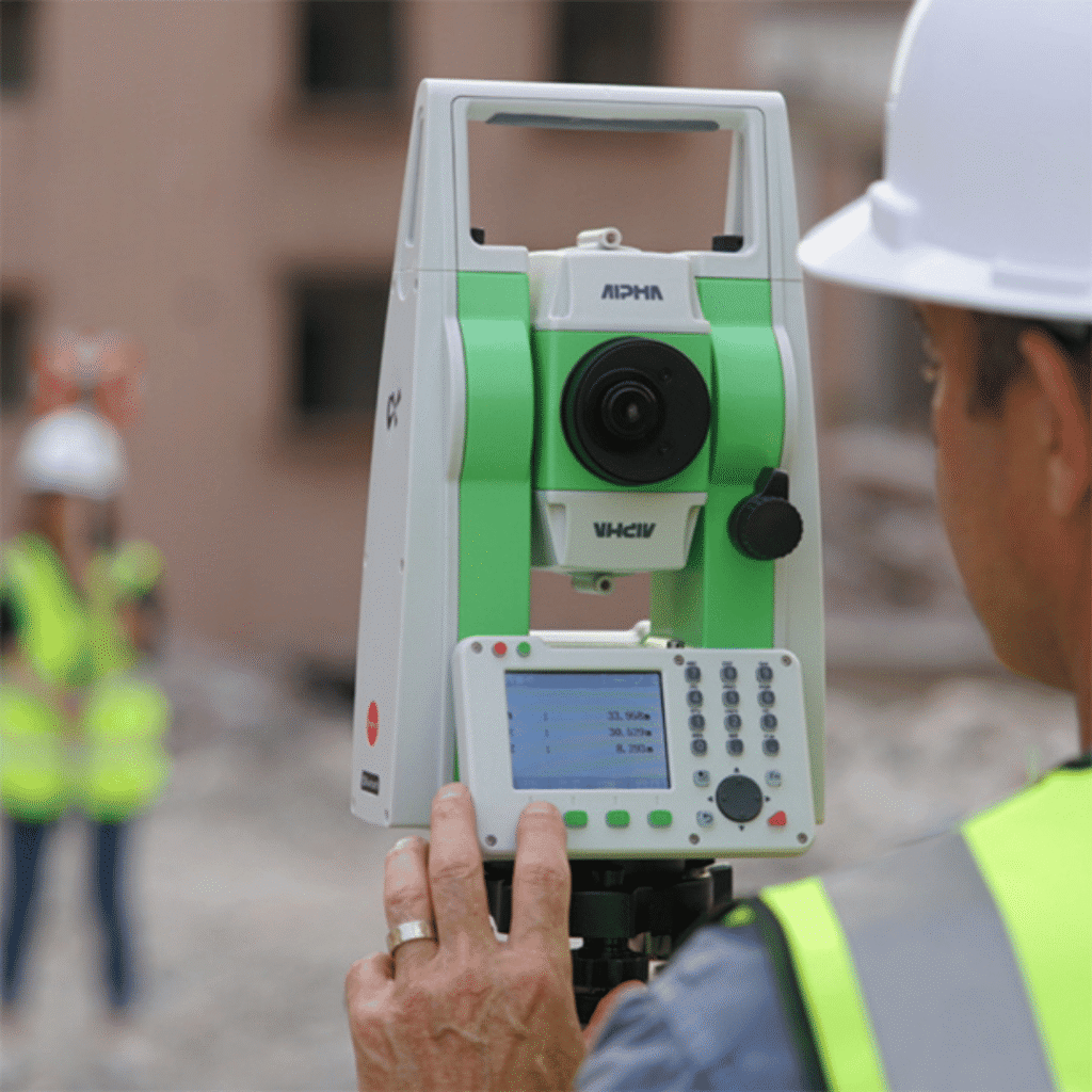
Reliable Geotechnical Monitoring Instruments You Can Trust
Discover our wide range of geotechnical and environmental monitoring instruments—designed for accuracy, built for tough conditions, and trusted by professionals worldwide.
We understand that in geospatial services, accuracy is everything. Our commitment to precision ensures that every dataset we deliver is reliable, detailed, and ready for critical decision-making.
Cutting-Edge Technology
We leverage the latest in surveying instruments, GIS software, and mapping tools to provide faster, smarter, and more efficient solutions — reducing errors and increasing productivity.
Industry Expertise
With a skilled team of geospatial professionals and years of hands-on experience across sectors like infrastructure, urban planning, and environmental management, we bring deep domain knowledge to every project.
Customized Solutions
Every project is unique, and so is our approach. We tailor our services to fit your specific requirements — whether you’re an engineer, architect, planner, or a government organization.
End-to-End Support
From initial data capture to final analysis and reporting, we offer comprehensive support at every stage. We’re not just a service provider — we’re your long-term geospatial partner.